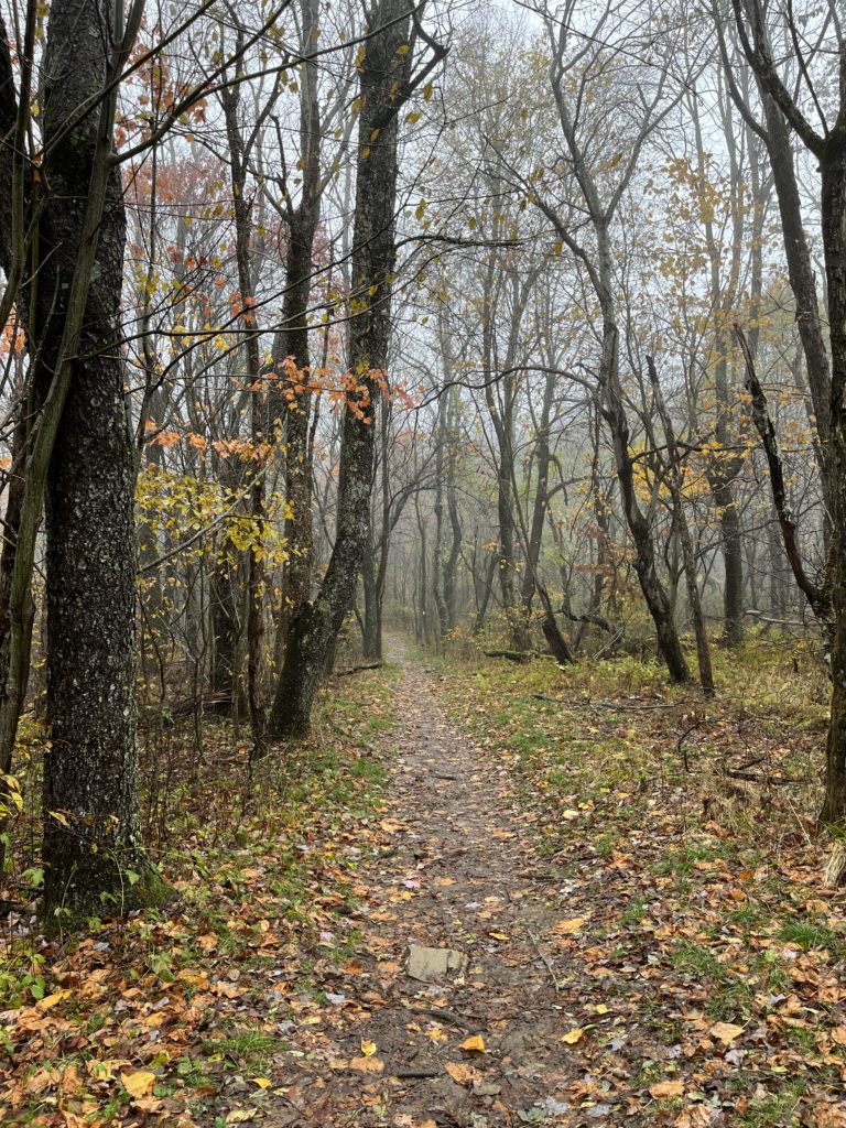
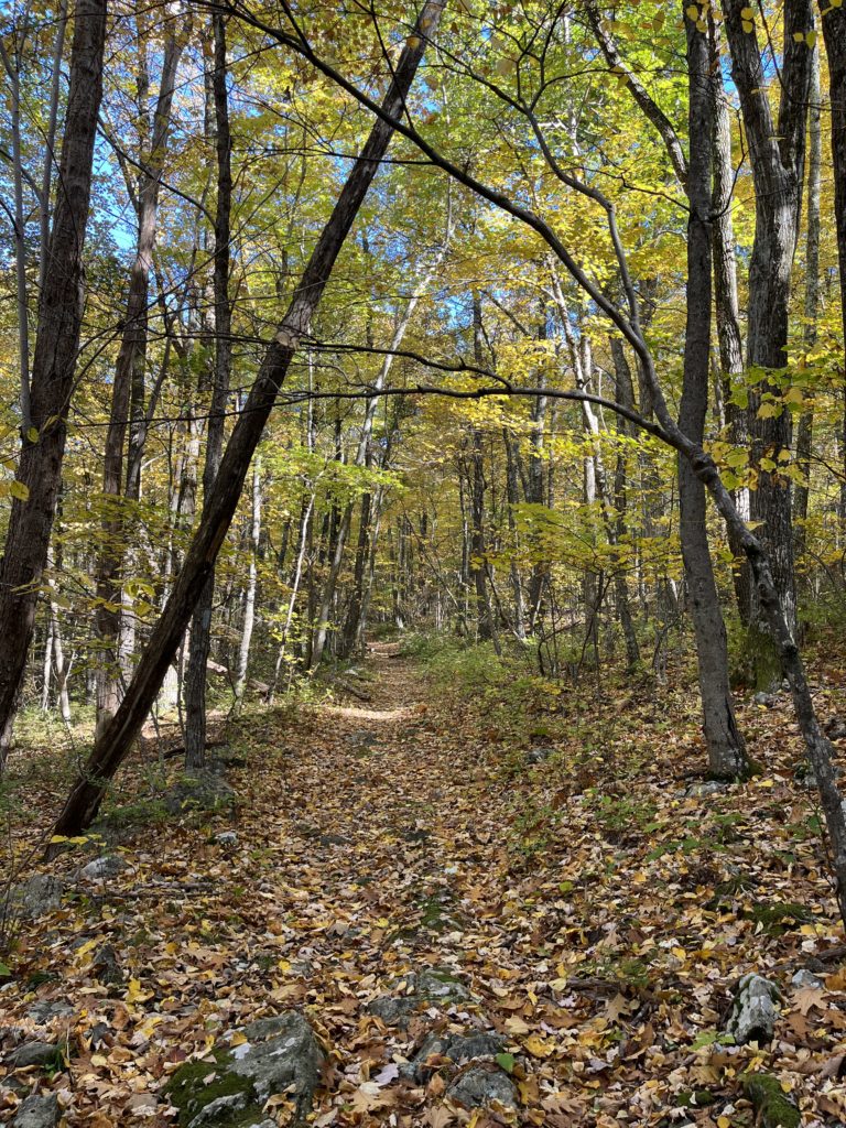
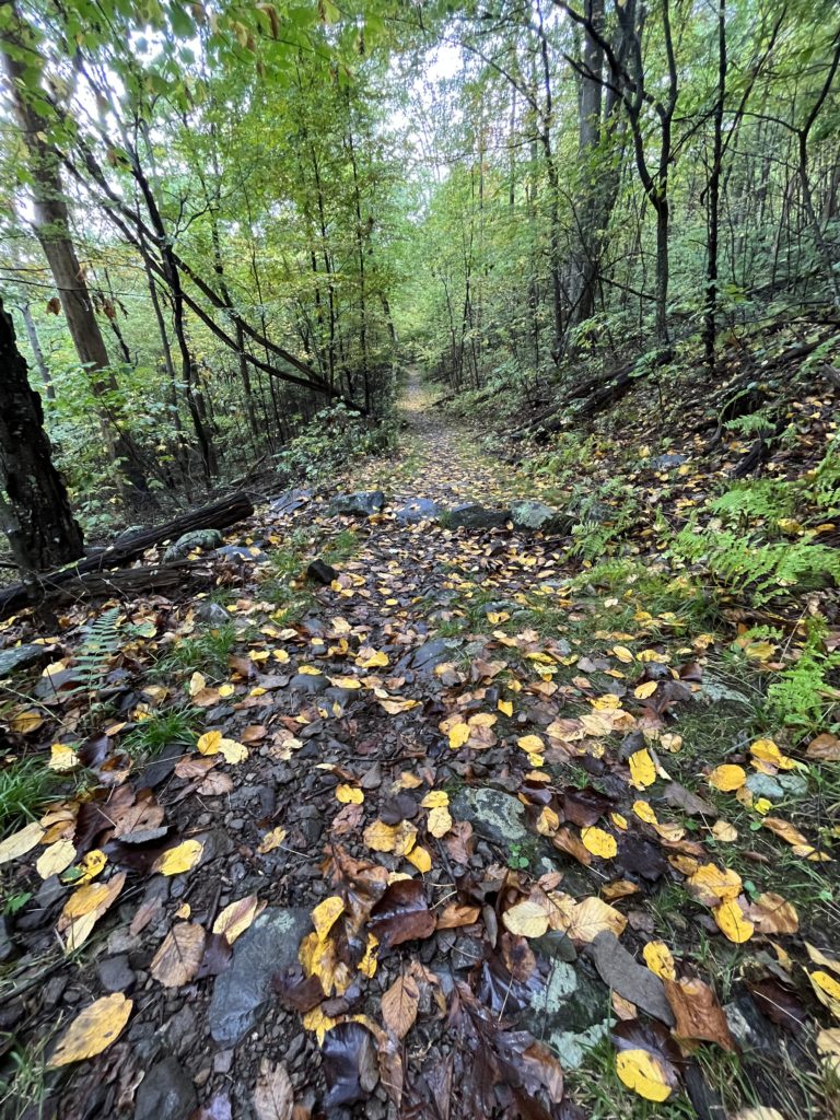
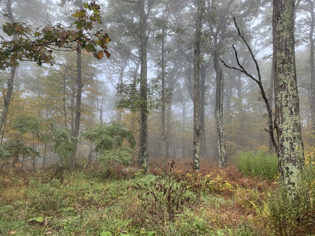
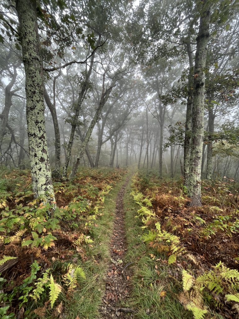
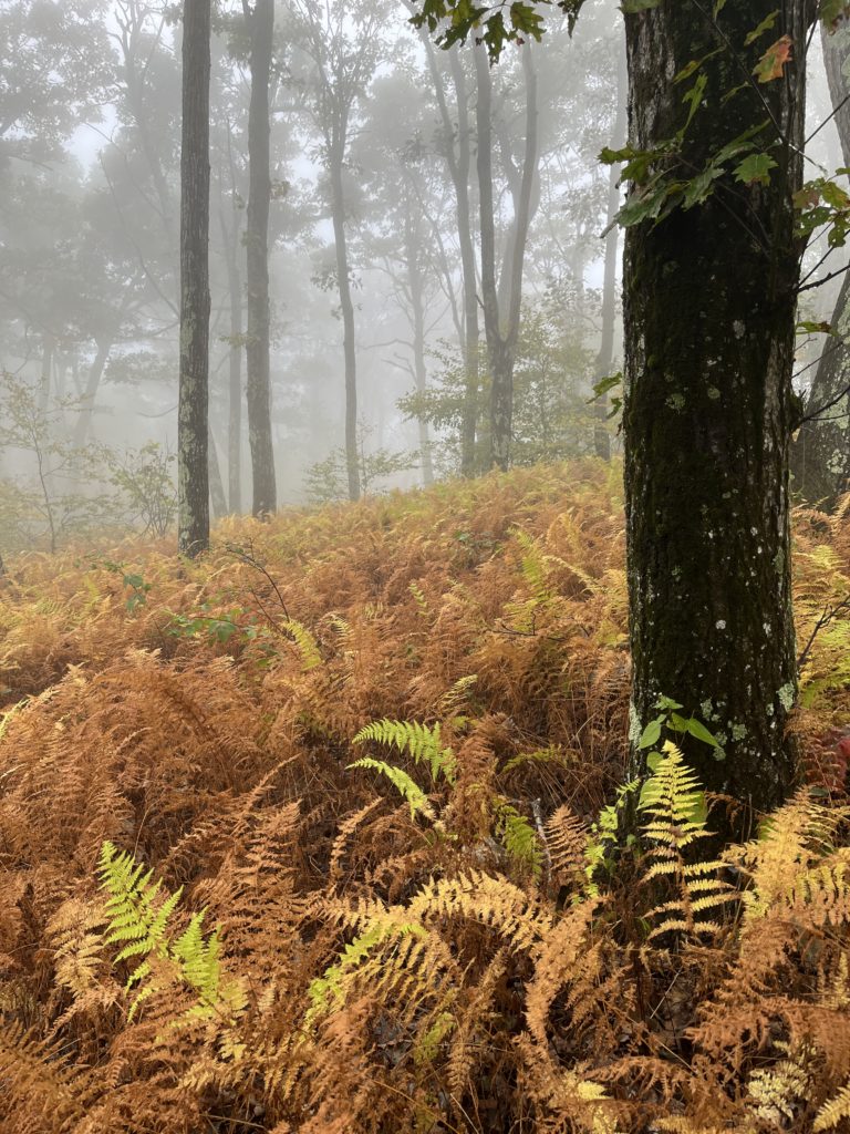
This is supposed to be one of the easier sections of the AT in Shenandoah, and it was pretty flat. It had just rained when I got there, so everything was a little misty and foggy and just perfect.
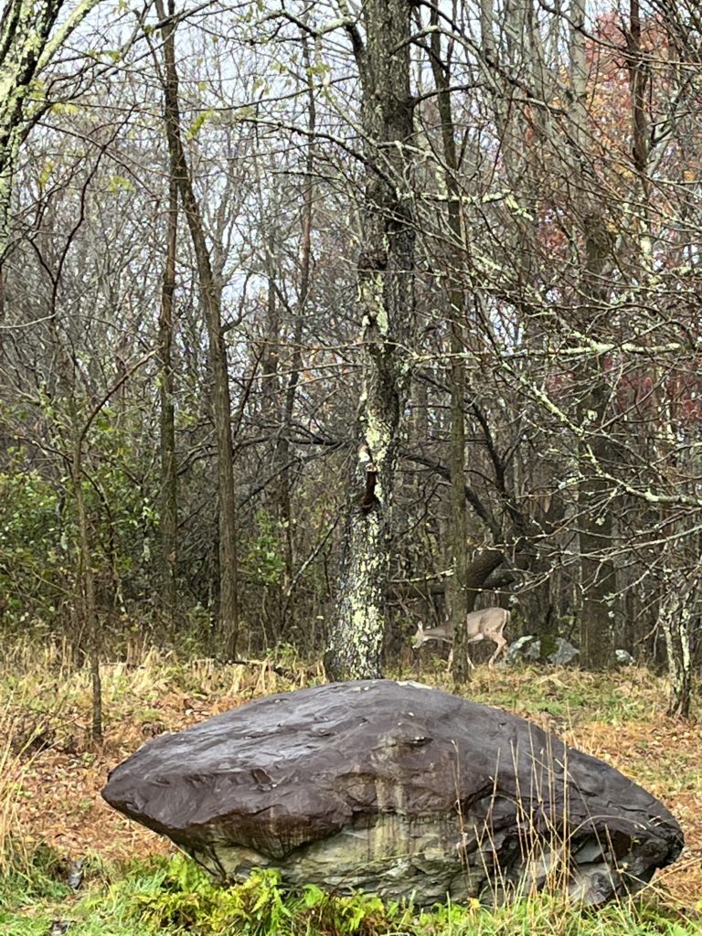
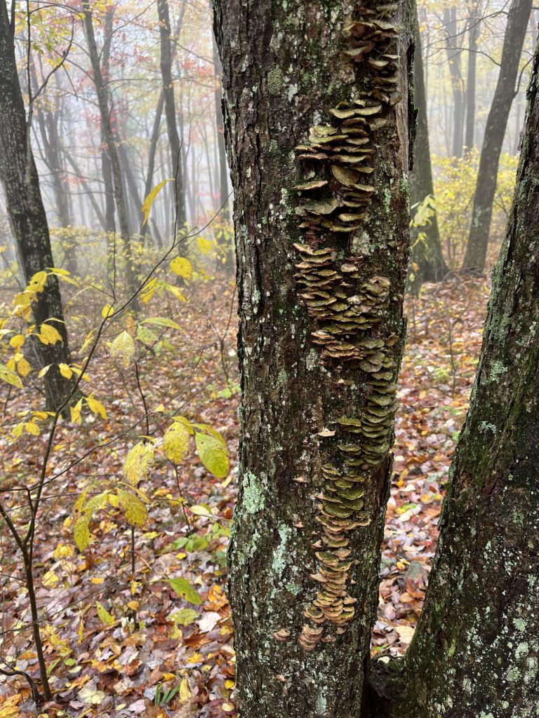
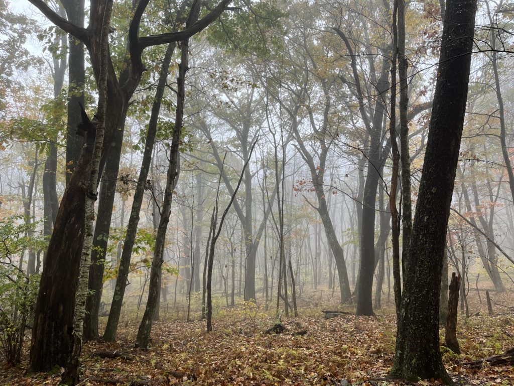
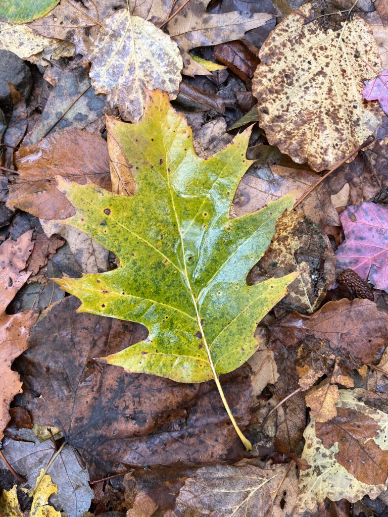
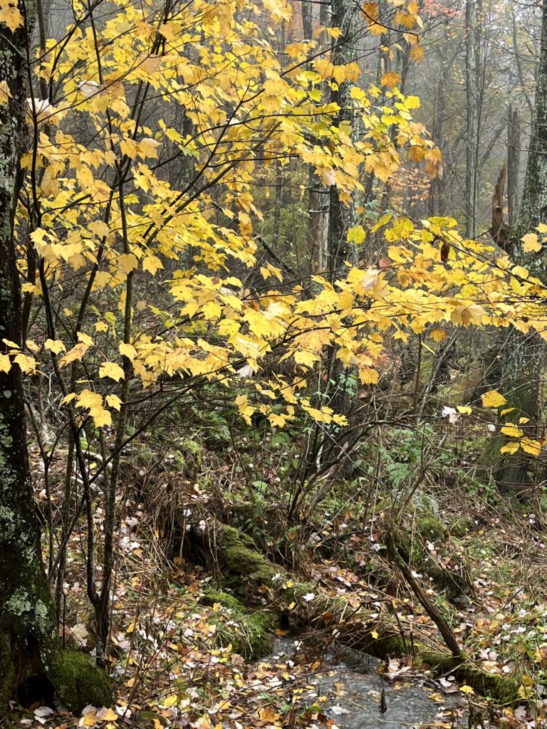
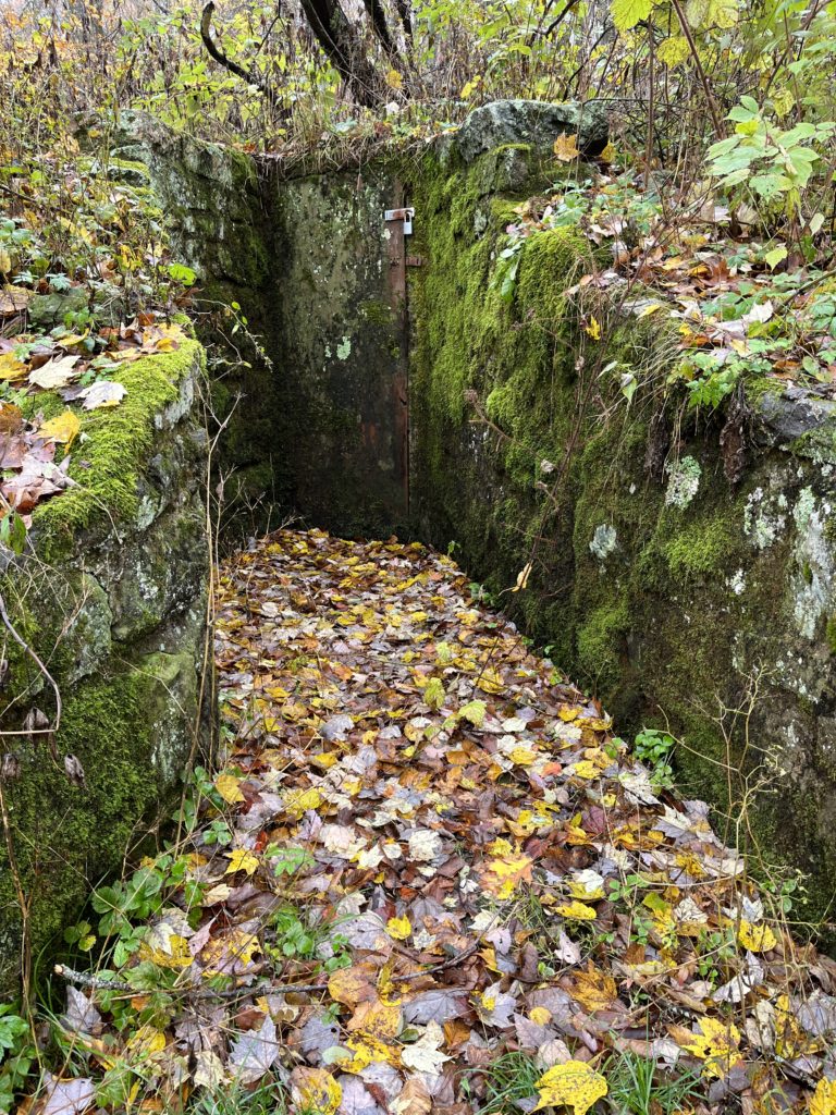
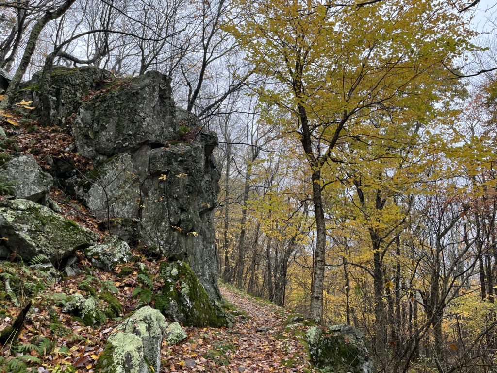
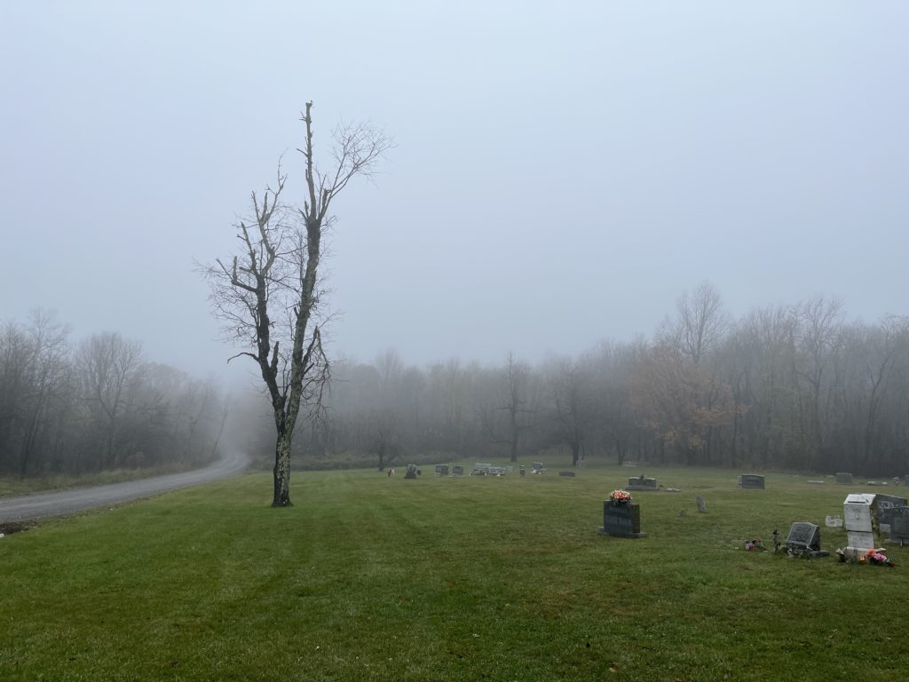
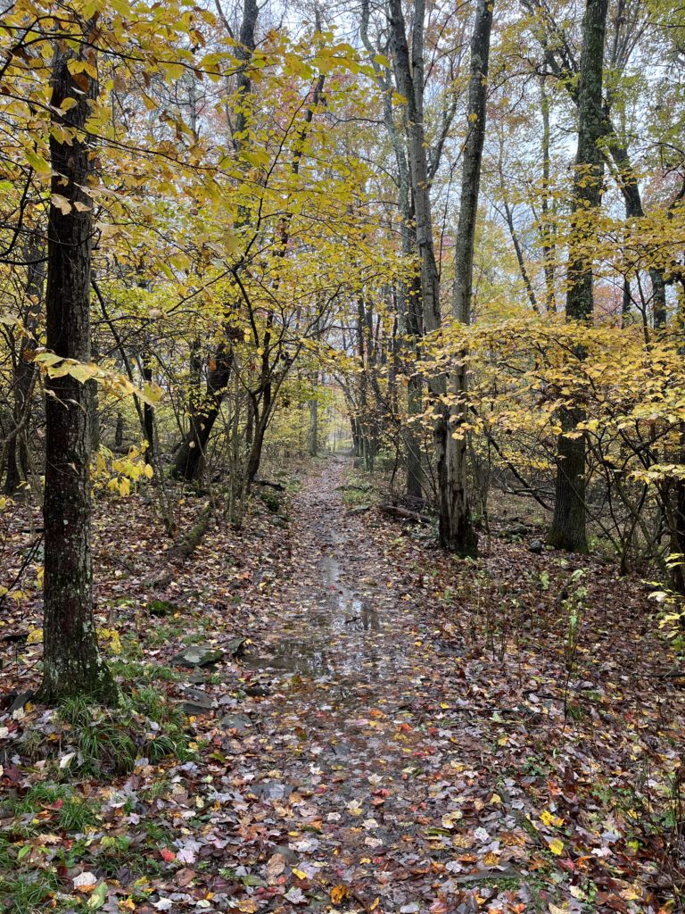
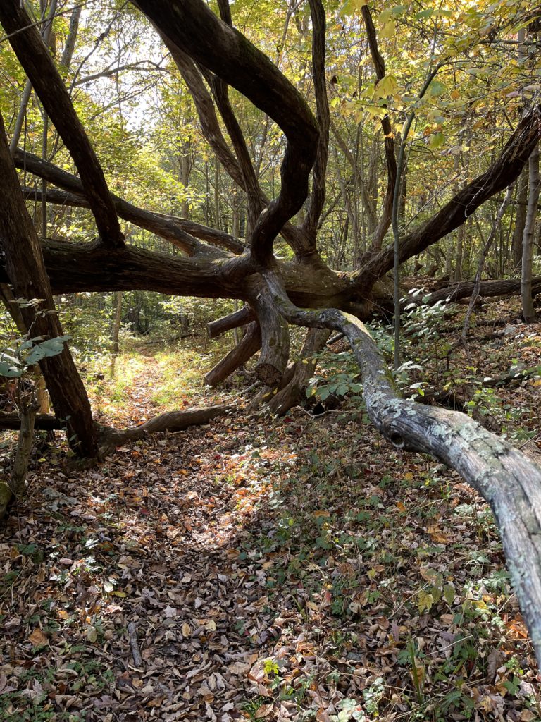
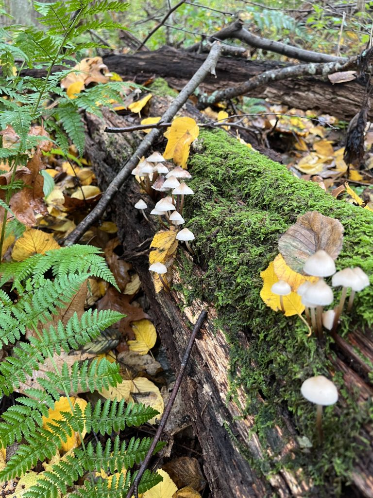
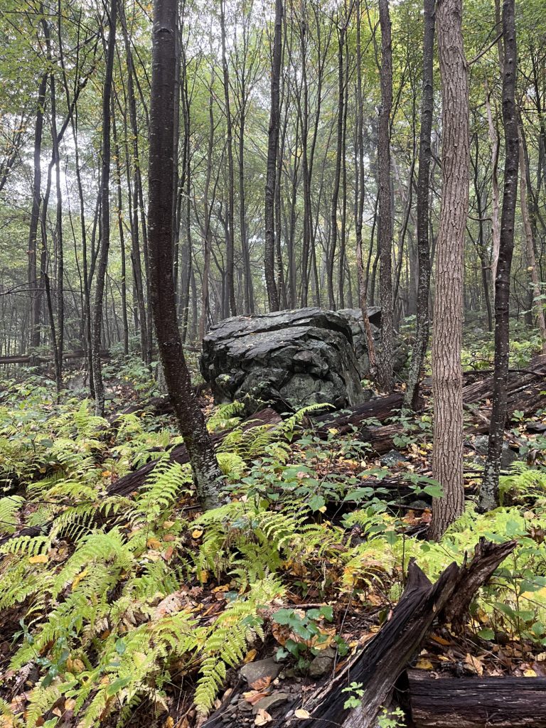
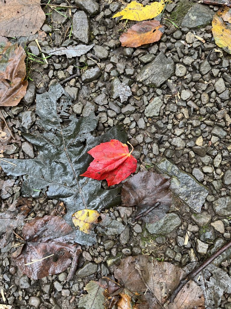
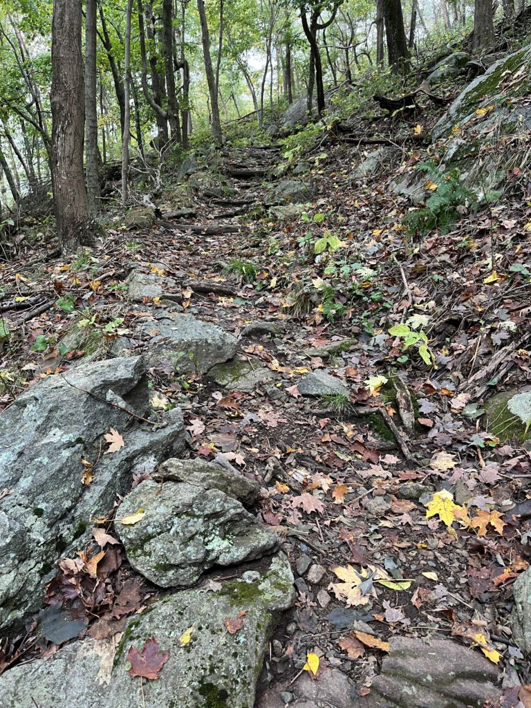
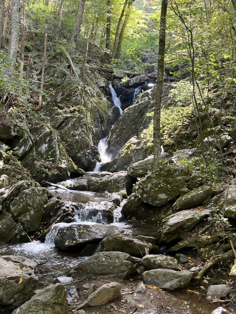
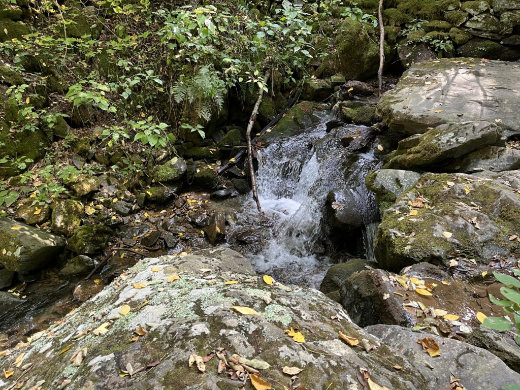
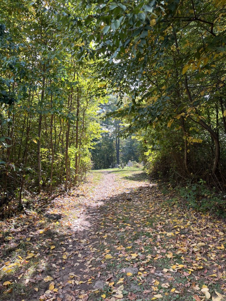
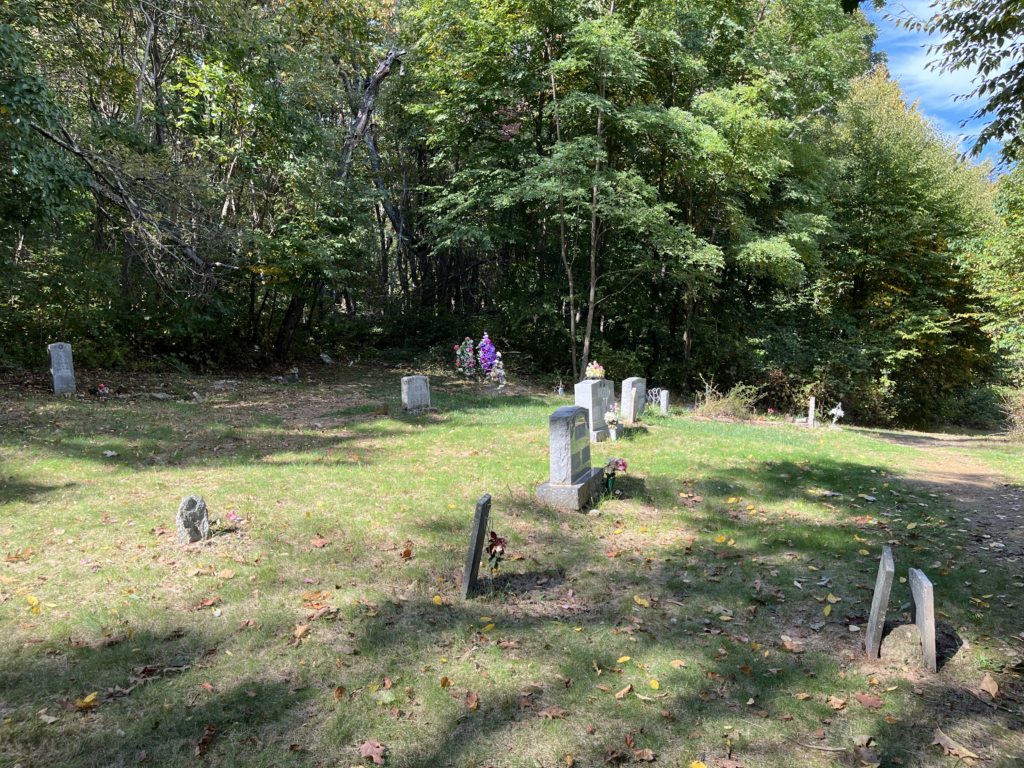
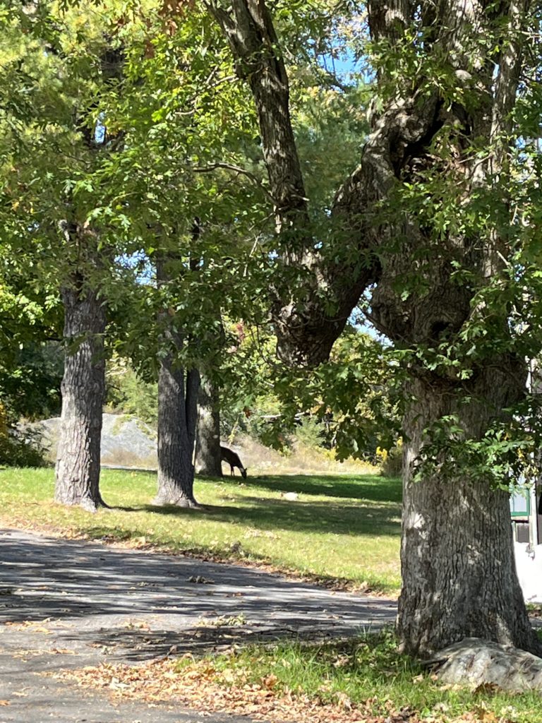
Started off at Milam Gap, where I saw a deer.Fall color starting to get intenseI love fungi.I also love foggy hikes.There’s always that one leaf that grabs your attention.It’s the door to a spring, but it really does look like the door to a fairy home.Shenandoah has such lovely rock formations.One of the more easily accessible cemeteries in the park.It was a bit wet in places.
AT: Milam Gap to Lewis Falls Trail 10/30/21 3.48 mi. 243 ft. elevation gain 4/5 stars
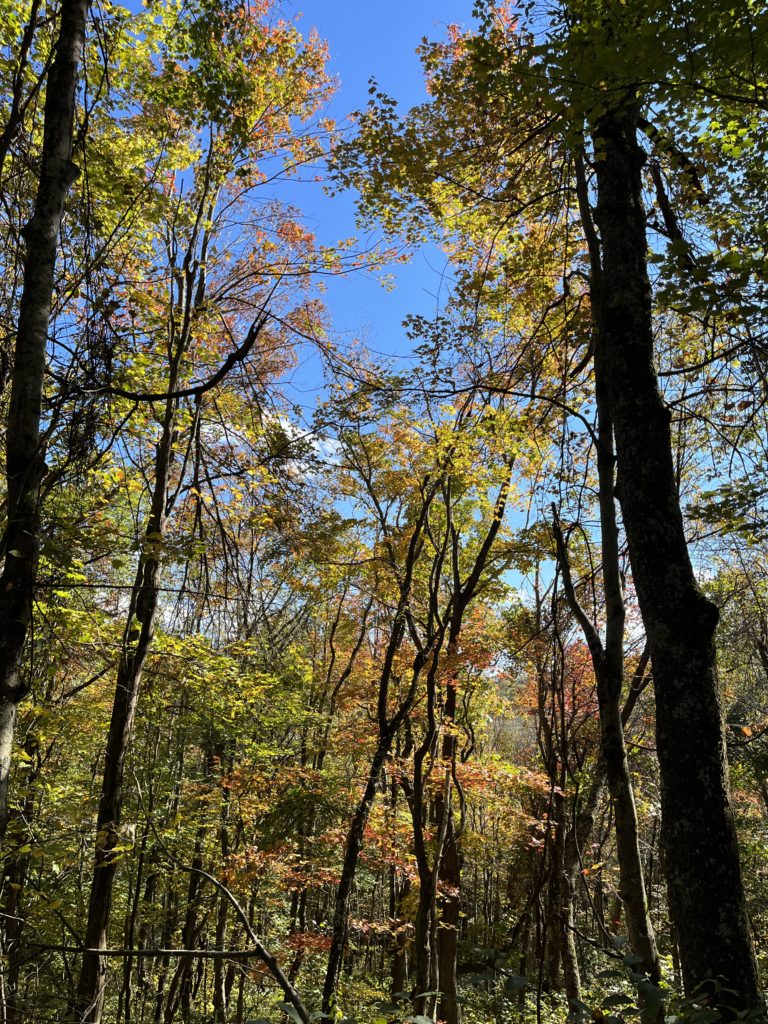
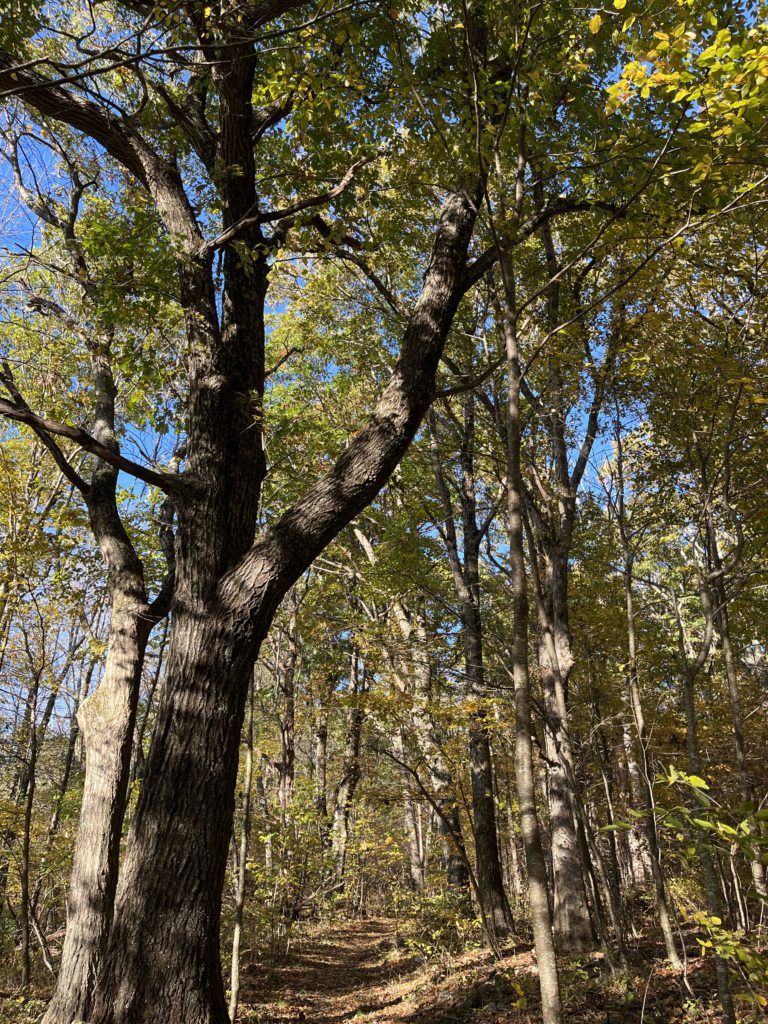
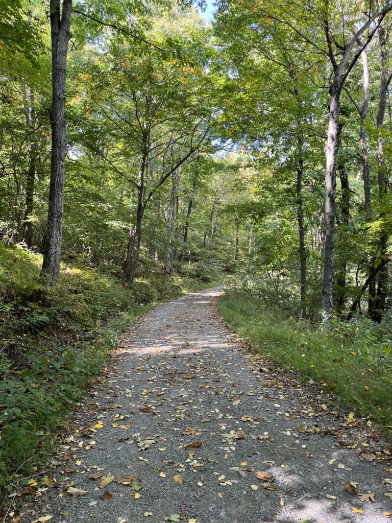
Even though it was well into October, I kept missing all the fall foliage. The trees on the trail were still pretty green.
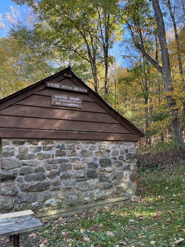
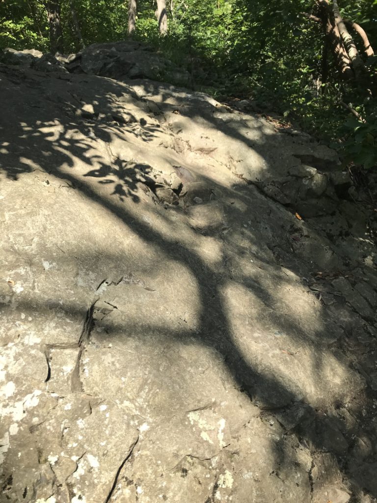
Saddleback Mountain TrailThe PATC uses this cabin to store tools & things for trail maintenance, so it’s no longer a shelter.This is a beautiful trail with a fairly gentle slope.The picture doesn’t really convey how high this is, but I could easily walk under it.I love this section of the AT.
Saddleback Mountain & AT Trail Loop 10/23/21 5.16 mi. 725 ft. elevation gain 4/5 stars
This trail is rated “easy” and it pretty much is, until you get to the very last part that goes up to Mathews Arm campground. This part of the trail was muddy and steep, so I turned around, figuring I’d get the other part of it from the other side later.
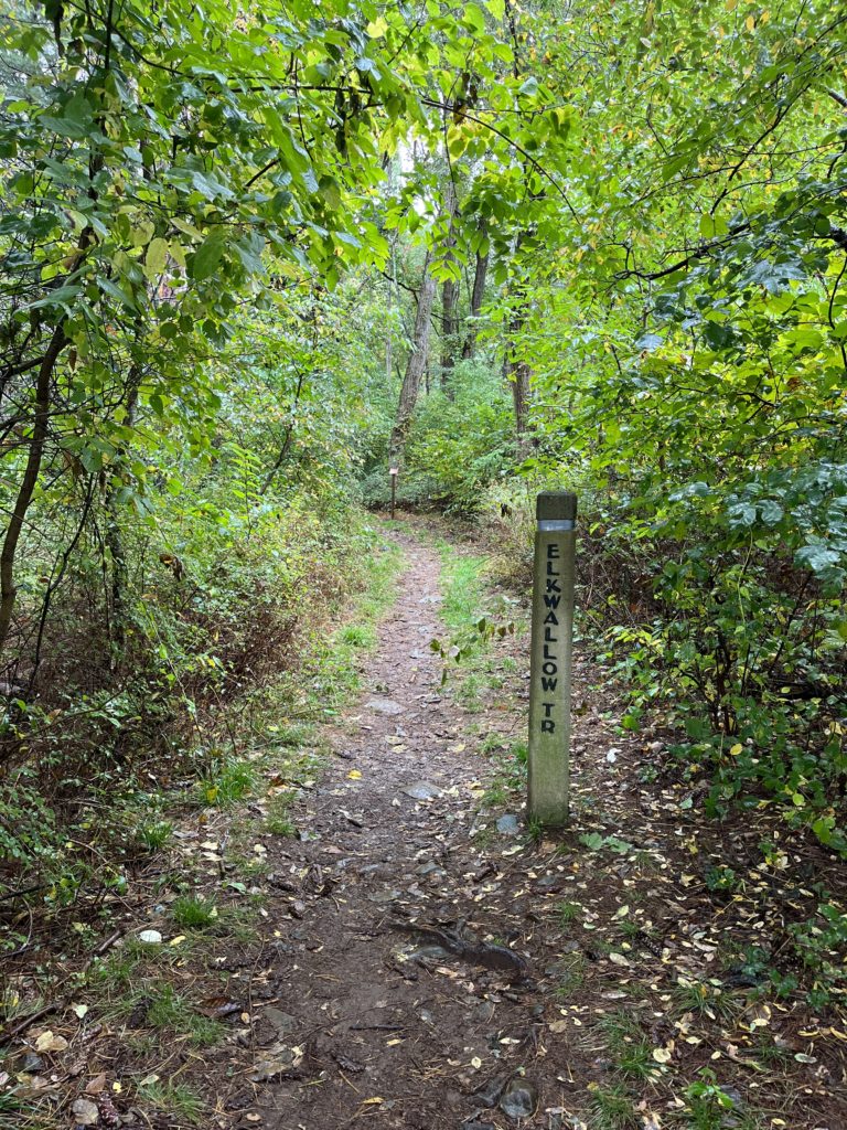
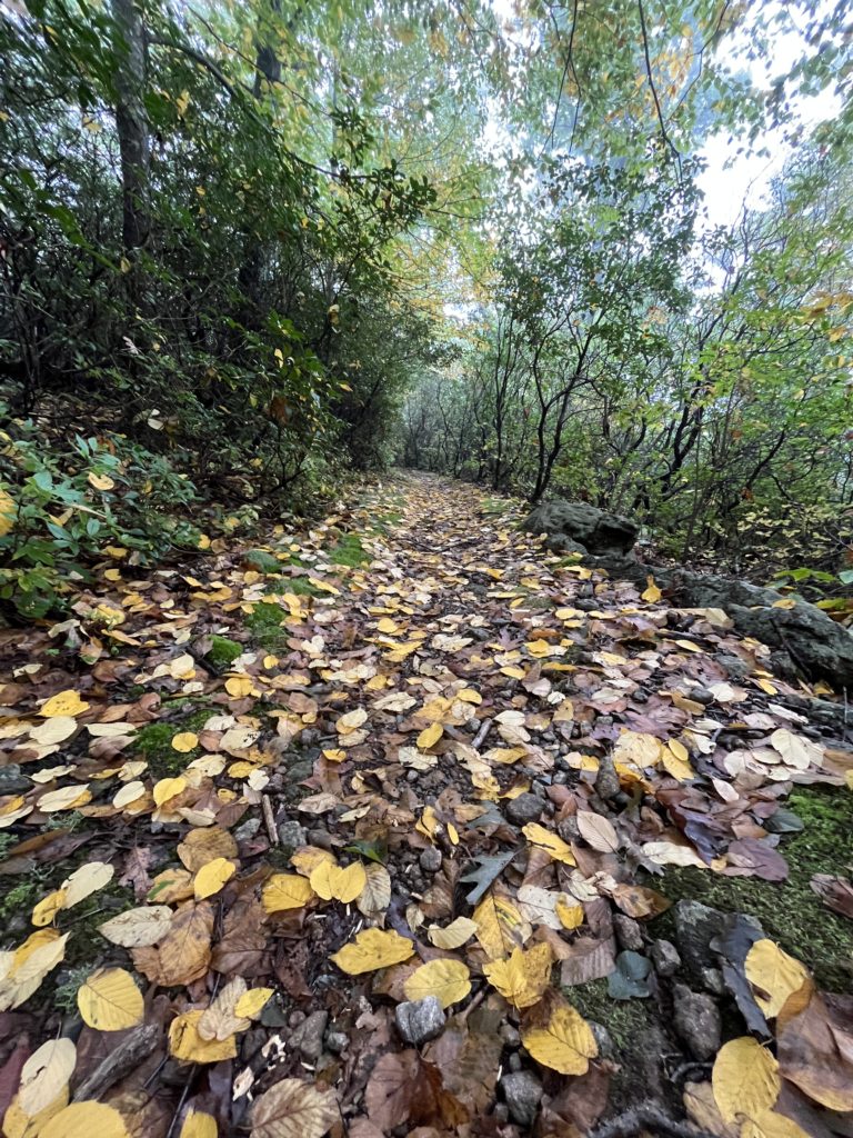
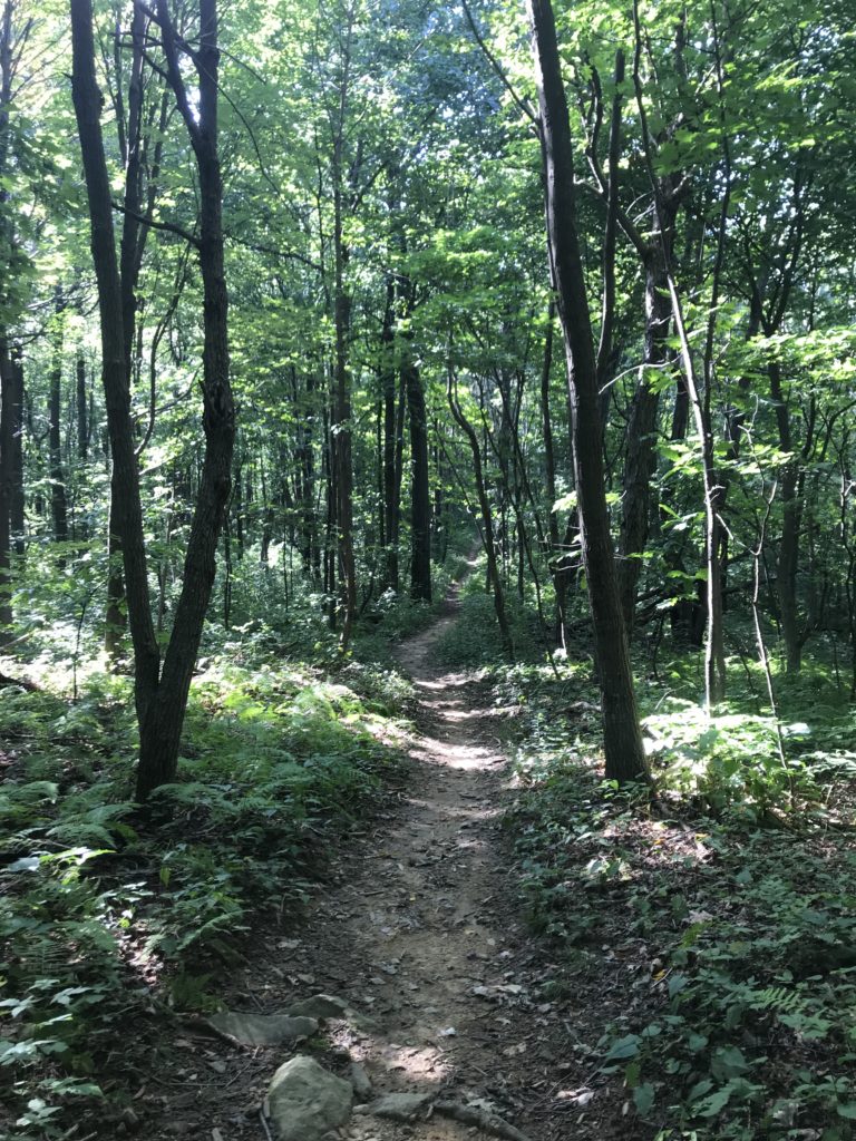
The leaves still hadn’t turned fully here yet.It had rained earlier in the day, so things were wet..This trail had few people, lots of trees, and solitude. Perfect.
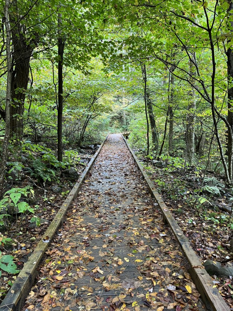
This bridge is lovely.
Elkwallow Trail 10/10/21 3.9 mi 469 ft. elevation gain 4/5 stars
I’m not sure what made me think I was ready for an “intermediate” (a la AllTrails) hike, but I optimistically chose this 5-mile round trip loop.
I got there early, and it was foggy.
The leaves in the park were just starting to change on this trail. It was beautiful.
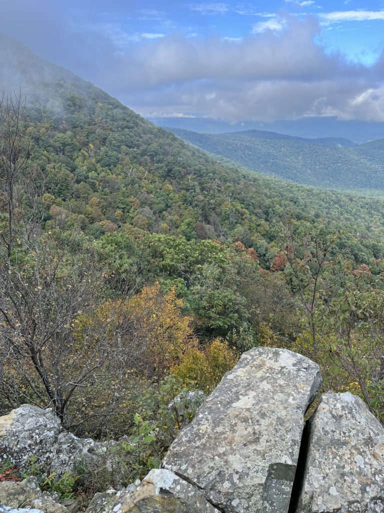
The fog lifted for some of the overlook views, which was nice. Others were completely socked in.
The first part was, as is usual in SNP, all downhill. Not bad. The uphill was pretty steep between Little Hogback Mountain and Hogback Mountain. Whew.
I don’t think this really adequately conveys how straight up this was.So much of this trail looked like a fairy forest with the fog and the changing leaf colors.
Sugarloaf/Keyser Run/Hogback Loop 10/8/21 5.66 mi 978 ft. elevation gain 5/5 stars
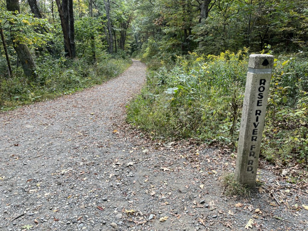
For my next hike (a rare second weekend day hike), I looked on the internet for “easy” hikes. Like, really easy. I walked down the Rose River Fire Road from Skyline Drive to where the fire road meets the Rose River Loop trail at Hogcamp Branch.
I briefly considered taking the trail up to Dark Hollow Falls, went up a few steps, said “nope,” and turned around.
I visited the cemetery that is off the fire road.
Finally back to the top.
Rose River Fire Road – Fisher’s Gap to Hogcamp Branch 10/3/21 2.44 mi 285 ft. elevation gain 4/5 stars
This was supposed to be a 4.5 mile “easy” loop hike on the Sugarloaf, Appalachian, and Piney Branch trails. I started off from the parking lot at the old ranger station, where I saw a deer.
After walking down the Piney Ridge Trail for a while (downhill), I reached the Piney River.
It was hot, I was tired, and by my look at the map, I’d gone about 1/4 of the loop. I decided (wisely) to turn around and not do the rest. I hate turning around on loops, and giving up, but it was definitely the right call.
Piney Branch to Piney River 10/2/21 3.19 mi 512 ft elevation gain 4/5 stars
One day, in September of 2021, I was feeling worn down by a lot of things: the pandemic, my job, school. My husband said, “Why don’t you go take a hike?” So I did.
My hike was in one of my favorite locations, Shenandoah National Park. I had long loved SNP since I first visited in my early 20s. But I’d only ever done a few hikes in the park, and they had been long ago. This hike was rated “easy.” It was easiER than some, sure. But for an out of shape person who had sat on their butt in a desk job during the pandemic, it wasn’t easy. It was also overgrown, and hot. Also no scenic views. But I loved the feeling I had after finishing it. I had accomplished something! I had communed with nature! I didn’t think about all my problems because I was focusing on hauling my overweight, out-of-shape butt to my car!
Fort Windham Rocks
I decided to come back to the park to do some more hiking. And so it started.